- Image
Stations were set up at Simpson Park, just east of the sub-basin, and Jacobs Springs, about 2 miles east of Reese River. The latter station was named after Washington Jacobs, district agent in charge there; Jacobsville, the first town in the sub-basin grew up at the station. After Jacobsville was abandoned as the Lander county seat in favor of Austin in 1863, the stage station there was moved 2 miles westward, to the east bank of Reese River.
The Overland Stage and Mail Company used this as a way stop at least until the discovery at Austin in May 1862.
But after it began to boom, the stage and mail stop was moved to Austin. Rock foundations on the west side of the Reese River just north of the highway mark the site of the Overland Stage station. These ruins are on patented land owned by Paul Inchauspe of Austin. However, the Pony Express station ruins are all but gone. (Expedition Utah)
Sources give this site several names, but generally they agree on its identity as a Pony Express station. Named for stationkeeper George Washington Jacobs, the station possibly began on the site of one of George Chorpenning's 1859 mail posts near the Reese River. In the summer of 1860, Indians burned the station and a new, incomplete adobe structure greeted Richard Burton when he arrived on October 13 of that same year. The Overland Mail Company and other stage lines also operated a station at the site, which grew into the promising little town of Jacobsville. When the silver boom began in Austin, Nevada, the Overland shifted its operations to that settlement about 1864. In 1986, the ruins of the adobe Pony Express station still existed northwest of Jacobsville. (NPS)
"On the eighteenth day we encountered the eastward-bound telegraph- constructors at Reese River station and sent a message to his Excellency Gov. Nye at Carson City (distant one hundred and fifty-six miles)." (Roughing It)
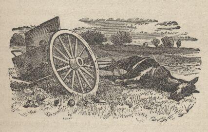
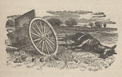
Bisecting the barren plain, ran a bright little stream, whose banks, however, had been stripped of their salt grass: pure and clear it flows over a bed of gravel, sheds in a northerly direction, and sinks at a distance of about twenty miles. From afar we all mistook the course, deceived as travelers often are, by the horizontality of the lines. Leaving on the right the road which forks to the lower ford, we followed that on the left hand leading to the station. There can not be much traveling upon these lines: the tracks last for years, unaffected by snow: the carcasses of animals, however, no longer mummified us as in the Eastern prairies, are readily reduced to skeletons.
The station house in the Reese River Valley had lately been evacuated by its proprietors and burnt down by the Indians: a new building of adobe was already assuming a comfortable shape. The food around it being poor and thin, our cattle were driven to the mountains. At night, probably by contrast with the torrid sun, the frost appeared colder than ever; we provided against it, however, by burrowing into the haystack, and despite the jackal-like cry of the coyote and the near tramping of the old white mare, we slept like tops.
To Smith's Creek, 14th October.
Before 8 AM we were under way bound for Smith's Creek. Our path stretched over the remainder of Reese's River Valley, an expanse of white sage and large rabbit bush which affords fuel even when green.
(The City of the Saints, p 486)