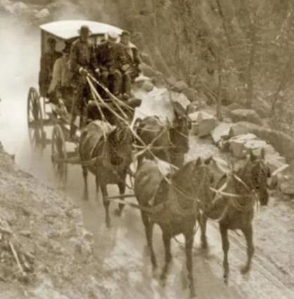
Head of Echo Canyon or Castle Rock Station site (BLM 1978)
Location: Lot 3, Section 6, Township 4 North, Range 7 East, Salt Lake Meridian.
About 8 miles from Needle Rock Station, this station, the first in Echo Canyon, was named for the large sandstone formation located near the site. The station, made of logs, was sold to a French trapper and moved a mile away in 1867. The station site is located approximately where the old Castle Rock grocery store now stands.
The station at the head of Echo Canyon was also known as Frenchies and Castle Rock. It was a contract station on the Pony Express and Stage route. Jabusch believes that the station originally stood in the abandoned town called Castle Rock, which was located about 1½ miles down the canyon from the present junk yard site known as Castle Rock. The structure was apparently built of logs, and after being sold to a French trapper in 1867, was moved up to the canyon to the junk yard site, owned in recent years by the late Curtis Moore.
Nothing remains of this site.
Back to the SE, and unfortunately on private land, one finds the well-known trail landmark called Cache Cave. The cave was a popular camping spot on the Emigrant Trail, and, high up on the cave walls where livestock cannot rub, the names of many Mormon Pioneers can still be seen. (Expedition Utah)
Richard E. Fike and John W. Headley identify the station as Head of Echo Canyon mentioned in the 1861 mail contract as Castle Rock, and/or Frenchies. Castle Rock refers to a sandstone geological formation near to the head of the canyon. Apparently a man named Frenchie served as stationkeeper at the log structure, which a French trapper purchased and moved to another site in 1867. Other sources identify Echo Canyon as the station site as well. Bishop and Henderson, Loving, and Pierson list Echo Canyon as the first station west of Needle Rock, but give no exact locations. (NPS)
