- Image
This station in Dixie Hollow was also commonly known as Dixie Creek , East Canyon, and Snyder’s Mill. The exact location has been a matter of considerable debate. Joe Nardone agrees with Mormon Trail authority Lamar Barrett that the station sat directly in the mouth of the draw, at a site marked by a pile of rocks. David and Susan Jabusch found no artifacts of any type during their initial and thorough survey. According to members of the Bertagnole family, who have been on the land for generations, the right location is a short distance to the south where a catch basin for watering livestock and a small grove of trees are found today. Construction of the small reservoir obliterated any evidence of a station at that spot. The U.S. Geological Survey, after consultation with prominent Utah historians, placed Dixie Station at the Bertagnole site. Brimville Emergency Station was located in Henefer and only used during bad weather. Located on private land but visible from the highway. Nothing remains but the location (Expedition Utah)
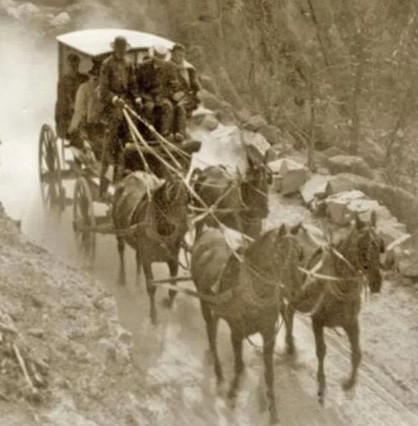
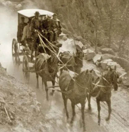
After leaving Weber Station, under normal traveling conditions, Pony Express riders crossed Forney's Bridge over the Weber River and rode through Bachelors Canyon to Dixie Hollow. When high water and snow made the normal route unsafe, riders followed the valley to the Brimville Emergency Station, also known as Henneforville (Henefer, Utah). From Brimville, riders reached Dixie Hollow by way of Little East Canyon. Pierson identifies Henefer as a station between Weber and Dixie Creek. This site does not appear on the 1861 mail contract, and probably was used infrequently. (NPS)