Silver Fever
scott
8 November 2021
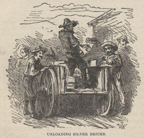 "By and by I was smitten with the silver fever. “Prospecting parties” were leaving for the mountains every day, and discovering and taking possession of rich silver-bearing lodes and ledges of quartz. Plainly this was the road to fortune.
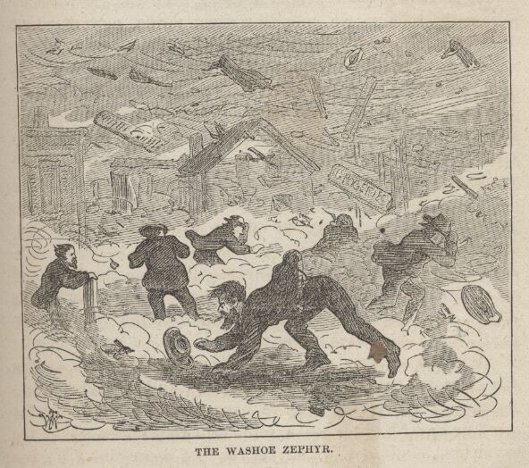 "The “Washoe Zephyr” (Washoe is a pet nickname for Nevada) is a peculiar Scriptural wind, in that no man knoweth “whence it cometh.” That is to say, where it originates. It comes right over the mountains from the West, but when one crosses the ridge he does not find any of it on the other side!